Table of Contents
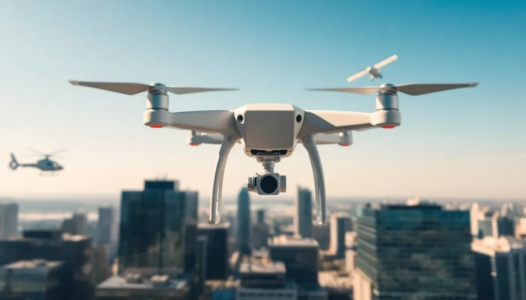
ToggleDrones vs helicopters, planes, and satellites, each offers distinct advantages for aerial operations. Businesses, researchers, and governments face this choice regularly. The right option depends on budget, coverage area, data precision, and deployment speed. Drones have grown rapidly in popularity due to their low cost and flexibility. But, traditional aircraft and satellites still hold clear advantages in specific applications. This guide compares these four technologies across key factors. Readers will find practical insights to match the best aerial solution to their specific needs.
Key Takeaways
- Drones vs helicopters, planes, and satellites each serve different needs—drones excel at low-cost, high-precision local tasks while traditional aircraft and satellites dominate large-scale or long-range operations.
- Commercial drones cost $1,000–$30,000 with minimal operating expenses, making them far more budget-friendly than helicopters ($250,000+) or satellite imagery subscriptions.
- Drones capture images at 1–2 cm resolution, offering up to 20x more detail than satellites, which makes them ideal for infrastructure inspections and precision agriculture.
- Deployment speed gives drones a major advantage—they launch in minutes from almost anywhere, while planes need runways and satellites operate on fixed schedules.
- For best results, many organizations combine drones for local monitoring, satellites for regional context, and planes for medium-scale surveys to maximize coverage and control costs.
Drones vs Helicopters: Cost and Accessibility
Drones vs helicopters represents one of the most common comparisons in aerial technology. Both operate at low altitudes and offer real-time data collection. But their costs and accessibility differ significantly.
Upfront and Operating Costs
A commercial drone costs between $1,000 and $30,000 for most applications. High-end industrial models may reach $100,000. By contrast, helicopters start at around $250,000 for basic models. Larger, specialized helicopters can exceed $15 million.
Operating costs show an even wider gap. Drones require minimal fuel, most run on rechargeable batteries. A single drone flight might cost $10–$50 in energy and wear. Helicopter flights cost $500–$3,000 per hour, factoring in fuel, maintenance, and pilot wages.
Training and Deployment
Drone pilots can earn certification in weeks. The FAA Part 107 license requires passing one exam and costs under $200. Helicopter pilots need hundreds of flight hours and tens of thousands of dollars in training.
Drones deploy in minutes from almost any location. They fit in a backpack or small vehicle. Helicopters need helipads, hangars, and ground support crews.
Best Use Cases
Drones excel at:
- Real estate photography
- Agricultural surveys
- Construction site monitoring
- Search and rescue in tight spaces
Helicopters remain superior for:
- Medical evacuations
- Heavy cargo transport
- Extended flight times (2+ hours)
- Operations requiring human presence on-site
For most small-scale aerial tasks, drones offer faster deployment and lower costs. Helicopters justify their expense only when payload capacity or flight duration matters most.
Drones vs Planes: Range and Capabilities
Drones vs planes present a different tradeoff. Planes cover vast distances at high speeds. Drones offer precision and flexibility at shorter ranges.
Coverage Area
Fixed-wing aircraft can survey thousands of square miles in a single flight. Commercial jets cruise at 500–600 mph and stay airborne for 10+ hours. Specialized survey planes map entire regions in one mission.
Most commercial drones have a range of 5–10 miles from the operator. Flight times average 20–45 minutes per battery. Fixed-wing drones extend this to 60–90 minutes and 50+ mile ranges, but still fall short of manned aircraft.
Data Quality and Altitude
Drones fly low, typically 100–400 feet above ground. This produces extremely detailed imagery. A drone can capture objects as small as 1 centimeter in size.
Planes fly at 1,000–30,000 feet. Their cameras cover more ground but capture less detail. Aerial photography from planes suits large-scale mapping rather than close inspection.
Operational Flexibility
Drones launch and land vertically in confined spaces. They pause mid-flight to hover and inspect specific targets. Operators adjust flight paths in real time.
Planes need runways and cannot hover. They follow pre-planned routes with limited ability to change course. Weather delays affect planes more severely, drones can fly under cloud cover that grounds larger aircraft.
When Each Technology Wins
Drones vs planes comes down to scale versus detail. Choose drones for:
- Infrastructure inspection (bridges, towers, pipelines)
- Precision agriculture on individual farms
- Emergency response in localized areas
Choose planes for:
- National geographic surveys
- Forest fire monitoring across large regions
- Long-distance cargo delivery
Drones vs Satellites: Precision and Flexibility
Drones vs satellites might seem like an unfair comparison. Satellites orbit hundreds of miles above Earth. Drones fly within sight of their operators. Yet both serve overlapping purposes in imaging and data collection.
Image Resolution
Modern commercial satellites capture images at 30–50 cm resolution. That means one pixel represents about one foot of ground surface. Military satellites achieve 10 cm or better.
Drones routinely capture images at 1–2 cm per pixel. This 20x improvement in resolution reveals cracks in concrete, individual plants in a field, or small structural defects.
Revisit Frequency
Satellites follow fixed orbits. Most commercial satellites pass over the same location every 1–5 days. Tasking a satellite for a specific image requires advance scheduling and high fees.
Drones fly on demand. An operator can launch within hours of a request and return the next day if needed. This flexibility proves critical for time-sensitive applications like disaster response or crop disease detection.
Cost Structure
Satellite imagery costs $10–$30 per square kilometer for archive images. Custom tasking runs $500–$5,000+ per image. These costs add up for frequent monitoring.
Drone surveys cost more per square kilometer for small areas but scale efficiently. A $2,000 drone can capture thousands of images over its lifespan. For repeated local monitoring, drones become far more economical.
Weather and Atmosphere
Clouds block satellite optical sensors. A satellite may pass over a target area and capture nothing useful due to weather. Radar satellites avoid this problem but cost significantly more.
Drones fly below clouds. Light rain or wind may delay flights, but operators control timing completely. This reliability matters for consistent data collection.
Ideal Applications
Satellites serve best for:
- Global climate monitoring
- International border surveillance
- Ocean and polar observations
- Broad regional land-use mapping
Drones excel at:
- Local environmental monitoring
- High-detail asset inspection
- Rapid post-disaster assessment
- Privacy-sensitive operations requiring controlled access
Key Factors for Choosing the Right Aerial Technology
Selecting between drones vs other aerial platforms requires clear criteria. These five factors guide most decisions.
1. Budget
Drones offer the lowest entry point. A capable commercial drone costs under $5,000. Operating expenses stay minimal. Organizations with limited budgets should start with drones and scale up only when necessary.
2. Coverage Requirements
Small sites (under 1 square mile) favor drones. Medium areas (1–100 square miles) may suit planes or advanced drone fleets. Continental or global coverage requires satellites.
3. Data Resolution Needs
Centimeter-level detail demands drones. Meter-level resolution works for satellites and planes. Match resolution requirements to actual decision-making needs, higher isn’t always better if broader coverage matters more.
4. Deployment Speed
Urgent situations favor drones. They launch in minutes without infrastructure. Planes need runway access and fuel. Satellites operate on fixed schedules with days or weeks of lead time.
5. Regulatory Environment
Drone regulations vary by country and region. Some areas restrict flights near airports, over crowds, or beyond visual line of sight. Satellites face no airspace restrictions. Planes operate within established aviation frameworks.
Making the Decision
Most organizations benefit from combining technologies. Drones handle routine local monitoring. Satellite data provides regional context. Planes fill gaps for medium-scale surveys. This layered approach maximizes value while controlling costs.